
Administrative district Sretensky District Local time Friday 3:45 AM | Administrative center of Sretensky District | |
 | ||
Municipal district Sretensky Municipal District Urban settlement Sretenskoye Urban Settlement Weather -7°C, Wind S at 0 km/h, 70% Humidity | ||
Sretensk (Russian: Сретенск; [ˈsrʲetʲɪnsk]) is a town and the administrative center of Sretensky District in Zabaykalsky Krai, Russia, located on the right bank of the Shilka River (Amur basin), 385 kilometers (239 mi) east of Chita, the administrative center of the krai. Population: 6,850 (2010 Census); 8,192 (2002 Census); 10,445 (1989 Census).
Contents
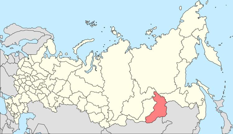
- Map of Sretensk Zabaykalsky Krai Russia
- History
- Administrative and municipal status
- Transportation
- Climate
- References
Map of Sretensk, Zabaykalsky Krai, Russia
History
It was founded in 1689 and granted town status in 1926.
Administrative and municipal status
Within the framework of administrative divisions, Sretensk serves as the administrative center of Sretensky District, to which it is directly subordinated. As a municipal division, the town of Sretensk, together with one rural locality (the selo of Morgul), is incorporated within Sretensky Municipal District as Sretenskoye Urban Settlement.
Transportation
The P426 road leads west to Nerchinsk. The P429 road leads west to Shelopugino, Gazimursky Zavod, Nerchinsky Zavod, and eventually to the border with China.
Climate
Sretensk has a subarctic climate (Köppen climate classification Dwc) bordering on a humid continental climate (Köppen climate classification Dwb), with severely cold winters and warm summers. Precipitation is quite low but is much higher in summer than at other times of the year.