
 | ||
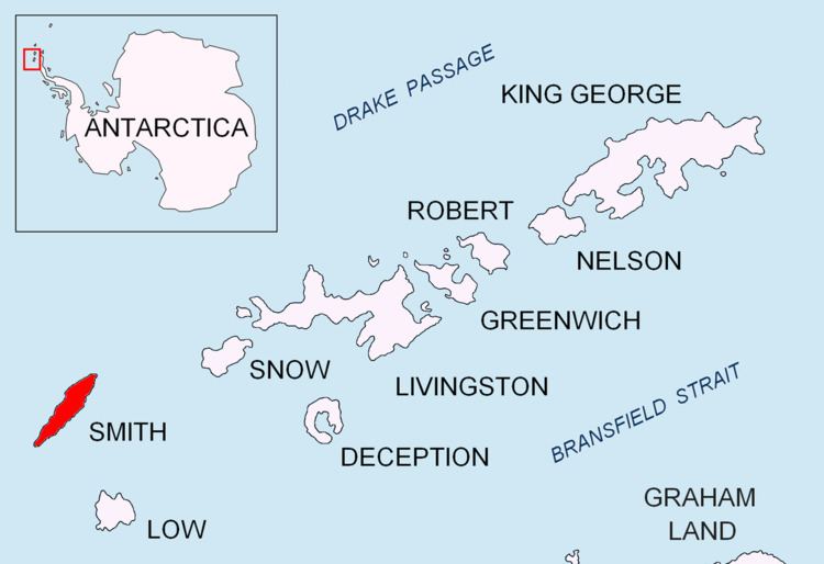
Sredets Point (Bulgarian: нос Средец, ‘Nos Sredets’ \'nos sre-'dets) is the ice-covered point on the southeast coast of Smith Island in the South Shetland Islands, Antarctica, projecting 400 m into Osmar Strait and separating the glacier termini of Krivodol Glacier to the north and Pashuk Glacier to the south.
Contents
The point is named after the town of Sredets in Southeastern and the settlements of Sredets in Southern Bulgaria.
Location
Sredets Point is located at 63°00′10.4″S 62°28′18″W, which is 16.9 km southwest of Cape Smith, 16.3 km northeast of Cape James and 3.4 km southeast of Antim Peak. Bulgarian mapping in 2009 and 2010.
Maps
References
Sredets Point Wikipedia(Text) CC BY-SA