
Admin. region Arnsberg Elevation 219 m (719 ft) Area 47.78 km² Local time Thursday 3:25 PM Administrative region Arnsberg | Time zone CET/CEST (UTC+1/+2) Population 25,507 (30 Jun 2010) Postal code 45549 | |
 | ||
Weather 21°C, Wind S at 16 km/h, 46% Humidity | ||
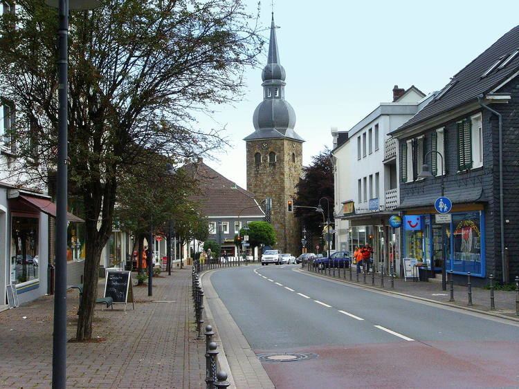
Sprockhövel is a town in the district of Ennepe-Ruhr-Kreis, North Rhine-Westphalia, Germany.
Contents
Map of Sprockh%C3%B6vel, Germany
Geography
Sprockhövel is located in the southern suburban part of the Ruhr area. It is 6 km southeast of Hattingen, 8 km northwest of Gevelsberg, 13 km south of Bochum and 14 km northeast of Wuppertal (centre).
The town consists of the Stadtteile Gennebreck, Haßlinghausen, Hiddinghausen, Niedersprockhövel, Niederstüter and Obersprockhövel.
History
The town was first mentioned in documents around 1000 AD. It was part of the County of Mark, but close to the Duchy of Berg, whose cultural influence is still visible today in the historical part of town. The current administration of Sprockhövel is a result of the local government reform on January 1, 1975.
Sprockhövel is twinned with South Kirkby, West Yorkshire.