
Primary inflows Surface area 2,247 km (868 sq mi) Max. depth 30 m (98 ft) Area 2,247 km² Province Manitoba | Basin countries Canada Average depth 9.8 m (32 ft) Surface elevation 258 m Catchment area 242,000 km² | |
 | ||
Primary outflows Churchill River, Rat River | ||
Southern Indian Lake is a large lake in Manitoba, Canada. It has an area of 2,247 km2 (868 sq mi) (including islands) with a surface elevation of 258 m (846 ft).
Contents
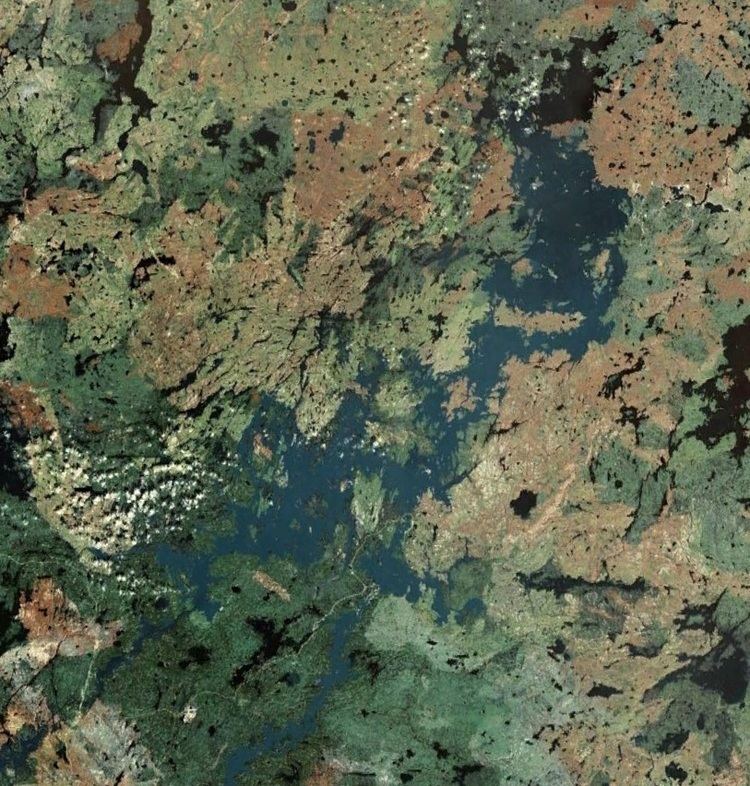
Map of Southern Indian Lake, Division No. 23, Unorganized, MB, Canada
Southern Indian Lake is the fourth largest lake in Manitoba. It has a complex shoreline with many islands, long peninsulas and deep bays. The Churchill River flows through the lake.
The community of South Indian Lake is located on the southeast shore, about 130 km (81 mi) (by air) north of the city of Thompson. It had a population of 767 in 2011 and is the main settlement of the O-Pipon-Na-Piwin Cree Nation, a First Nations band government.
The lake and the settlement are accessed by the South Indian Lake Airport and Manitoba Provincial Road 493 (Pr493). Pr493. a gravel road, begins at Leaf Rapids on the Pr391 (also a gravel road) and runs 219.1 km (136.1 mi) northeast to its terminus at South Indian Lake. The nearest city, Thompson, is 436 km (271 mi) by road.
Churchill River Diversion
The Churchill River Diversion of the Nelson River Hydroelectric Project diverts part of the Churchill River at Missi Falls, the natural outflow of Southern Indian Lake, south into the Rat River branch of the Burntwood River. The control dam at Missi Falls (Missi Falls Control Structure) raised the lake level 3 metres. An artificial outflow channel (South Bay Diversion Channel) was also created from South Bay of Southern Indian Lake to Issett Lake. The dam at Notigi (Notigi Control Structure) on the Rat River controls the flow to the Nelson River system.