Local time Monday 7:55 PM | Province Manitoba | |
 | ||
Weather -8°C, Wind NE at 8 km/h, 77% Humidity | ||
South Indian Lake is a community located on the southeast shore of Southern Indian Lake in Manitoba Canada, about 130 km (81 mi) (by air) north of the city of Thompson. It had a population of 767 in 2011 and is the main settlement of the O-Pipon-Na-Piwin Cree Nation, a First Nations band government.
Contents
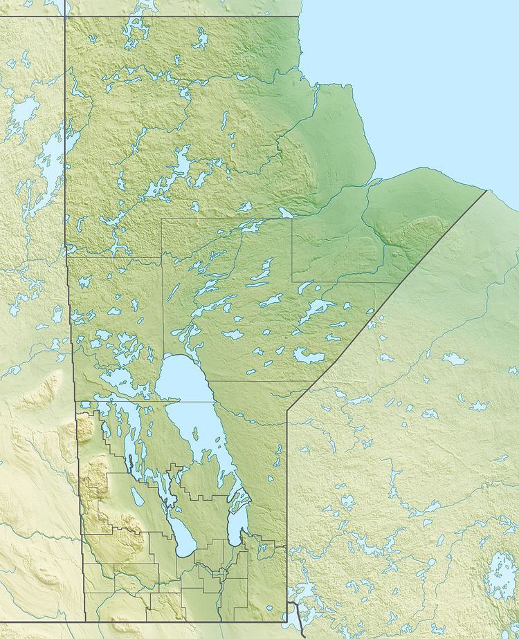
Map of South Indian Lake, MB, Canada
Access
The lake and the settlement are accessed by the South Indian Lake Airport and Manitoba Provincial Road 493 (Pr493). Pr493. a gravel road, begins at Leaf Rapids on the Pr391 (also a gravel road) and runs 219.1 km (136.1 mi) northeast to its terminus at South Indian Lake. The nearest city, Thompson, is 436 km (271 mi) by road.
History
In the 1970s the level of Southern Indian Lake was raised by 3 m (9.8 ft) as part of the Churchill River Diversion and the settlement was relocated at a higher level.
