
Seat Sungai Jawi Time zone MST (UTC+8) Area 243 km² Largest city Nibong Tebal | Largest town Nibong Tebal Postal code 14100-14300 Population 165,828 (2010) | |
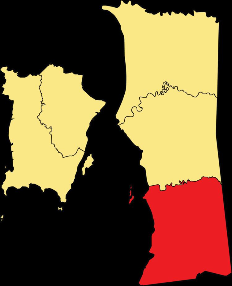 | ||
The South Seberang Perai District (Malay: Daerah Seberang Perai Selatan) is a district in Penang, Malaysia. It covers an area of 243 square kilometres, and had a population of 165,828 at the 2010 Census (provisional result). The district is bordered by Junjong River that separates Central Seberang Perai in the north, Kedah state border in the east, Perak state border in the south and the South Channel that separates Penang Island. Rivers that flow through South Seberang Perai are Junjong River, Jawi River and Kerian River. The capital of this district is Sungai Jawi and the largest town is Nibong Tebal. Other towns such as Batu Kawan, Bukit Tambun, Simpang Ampat, Sungai Bakap and Valdor are also located in this district. South Seberang Perai is thriving with the fishing industry and agriculture. Oil palm plantations covers most parts of the area.
Contents
- Map of South Seberang Perai Penang Malaysia
- Administrative divisions
- Federal Parliament and State Assembly Seats
- Tourist attractions
- References
Map of South Seberang Perai, Penang, Malaysia
Administrative divisions
South Seberang Perai District is divided into 16 mukims.
Federal Parliament and State Assembly Seats
List of South Seberang Perai district representatives in the Federal Parliament (Dewan Rakyat)
List of South Seberang Perai district representatives in the State Legislative Assembly of Penang