
Postal code 13500-14100 Local time Wednesday 7:52 AM | Time zone MST (UTC+8) Area 239 km² | |
 | ||
National calling code +6043xxxxxx - +6045xxxxxx (landline only) Weather 24°C, Wind NE at 3 km/h, 93% Humidity Points of interest Penang Bird Park, Jalan Baru Sri Muniswar, Mengkuang Dam, BBB AGARWOOD PAVILIO, ACTIVE DYNAMIC TRAVEL | ||
The Central Seberang Perai District (Malay: Daerah Seberang Perai Tengah), is a district in the state of Penang, Malaysia. It covers an area of 239.1 square kilometres, and had a population of 361,791 at the 2010 Census (provisional result). The district is bordered by Perai River which separates North Seberang Perai in the north, Junjong River which separates South Seberang Perai in the south, Kedah state border in the east and South Channel which separates Penang Island. Juru River also flows through the district. The capital of this district is Bukit Mertajam. Other localities that are situated in Central Seberang Perai include Permatang Pauh, Penanti, Bukit Tengah, Bukit Minyak, Juru, Alma, Machang Bubok and Permatang Tinggi. The entertainment, eatery and automobile venue of Autocity is also located in this district. Heavy industrial areas cover most parts of Central Seberang Perai.
Contents
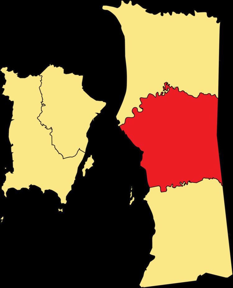
- Map of Central Seberang Perai Penang Malaysia
- Towns
- Federal Parliament and State Assembly Seats
- References
Map of Central Seberang Perai, Penang, Malaysia
Towns
Federal Parliament and State Assembly Seats
List of Central Seberang Perai district representatives in the Federal Parliament (Dewan Rakyat)
List of Central Seberang Perai district representatives in the State Legislative Assembly of Penang