
- elevation 4,709 ft (1,435 m) | - elevation 3,264 ft (995 m) | |
 | ||
- location | ||
The South Fork Malheur River is tributary of the Malheur River in a sparsely populated part of the U.S. state of Oregon. Arising southeast of the unincorporated community of New Princeton and slightly north of Oregon Route 78, it flows generally northeast to meet the Malheur near the unincorporated community of Riverside in Malheur County. The South Fork enters the larger river 96 miles (154 km) by water from its confluence with the Snake River.
Contents
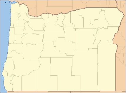
Map of South Fork Malheur River, Oregon, USA
Tributaries
Named tributaries of the South Fork from source to mouth are Camp, Indian, Deadman, Pole, Crane, and Swamp creeks. Then Coleman, Coyote, Cobb, Visher, Buck, McEwen, Hot Springs, and Granite creeks.
References
South Fork Malheur River Wikipedia(Text) CC BY-SA