
Country United States Time zone Pacific (PST) (UTC-8) Local time Sunday 7:43 PM | Elevation 3,343 ft (1,019 m) Area code(s) 541 | |
 | ||
Weather 11°C, Wind SE at 5 km/h, 72% Humidity | ||
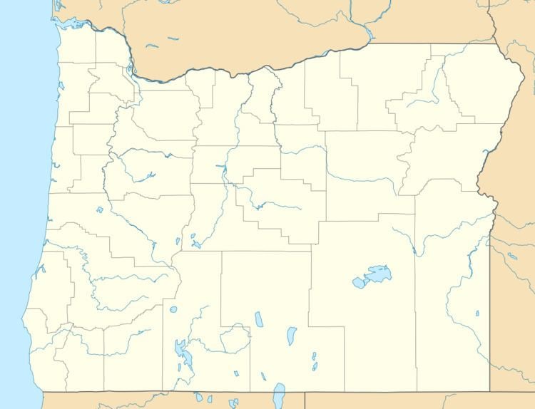
Riverside is an unincorporated community in Malheur County, Oregon, United States. It lies at an elevation of 3,343 feet (1,019 m) and is part of the Ontario, Oregon–Idaho Micropolitan Statistical Area. It is northeast of Crane and south of Juntura along Juntura–Riverside Road and the South Fork Malheur River near its confluence with the main stem.
Contents
Map of Riverside, OR 97917, USA
The Riverside Wildlife Area, managed by the Oregon Department of Fish and Wildlife, is along the Malheur River canyon near Riverside. Encompassing 3,798 acres (1,537 ha), it provides public access to fishing, hunting, and wildlife viewing in a remote area that is otherwise privately owned.
Riverside post office was established in 1889, with Teresa E. McRae as postmaster. The office, with a ZIP code of 97917, was discontinued in 2008.