
Country United States ZIP code 97721 Elevation 1,253 m | Time zone PST (UTC-8) Area code(s) 458 and 541 Local time Saturday 10:06 AM | |
 | ||
Weather 4°C, Wind S at 6 km/h, 74% Humidity | ||
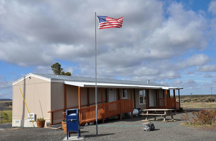
New Princeton is an unincorporated community in Harney County, in the U.S. state of Oregon. It is along Oregon Route 78 between Burns and Burns Junction at an elevation of 4,111 feet (1,253 m) above sea level. The South Fork Malheur River begins near Round Mountain, southeast of New Princeton.
Contents
Map of New Princeton, OR 97721, USA
The Princeton rural post office was established in 1910 or about 1912, depending on the source consulted. When an upgrade of Route 78 bypassed the original community, it was re-located to New Princeton.
Climate
According to the Köppen Climate Classification system, New Princeton has a semi-arid climate, abbreviated "BSk" on climate maps.
Works cited
References
New Princeton, Oregon Wikipedia(Text) CC BY-SA