
- location Mathinna Plains - location Trevallyn | - elevation 810 m (2,657 ft) - elevation 0 m (0 ft) | |
 | ||
- right Nile River, Macquarie River, North Esk River | ||
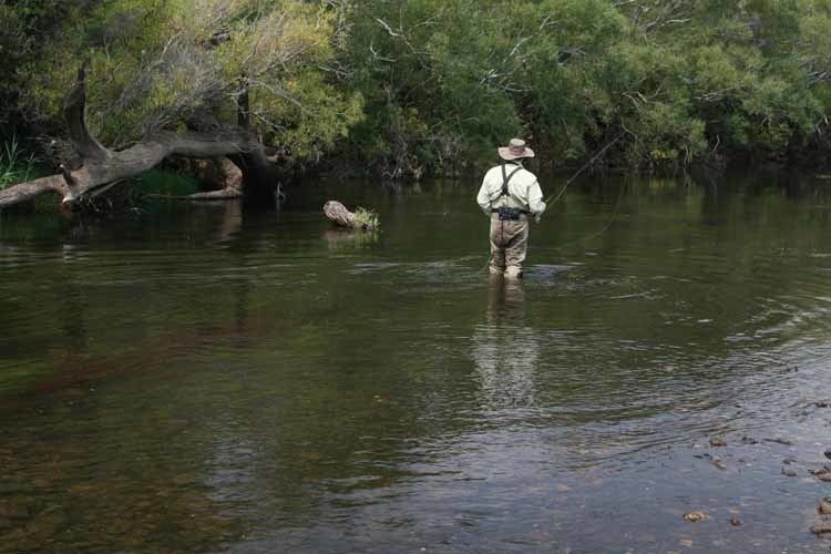
Trout fishing and skirfing on the south esk river tasmania
The South Esk River, the longest river in Tasmania, is a major perennial river located in the northern region of Tasmania, Australia.
Contents
- Trout fishing and skirfing on the south esk river tasmania
- Map of South Esk River Tasmania Australia
- South esk river hadspen by mikeydrone
- Location and featuresEdit
- Indigenous historyEdit
- European historyEdit
- References
Map of South Esk River, Tasmania, Australia
South esk river hadspen by mikeydrone
Location and featuresEdit
It starts in the eastern foothills of the Ben Lomond plateau near Mathinna and arcs around the entire southern promontory of the mountain - passing through Fingal, flowing through Avoca and Evandale before wending its way northwest through Longford and Hadspen. The river finally meets the Meander River and flows through the Cataract Gorge to meet the North Esk River at Launceston. From this point the river becomes the Tamar River and enters Bass Strait.
The river is dammed at Trevallyn Dam near Launceston as part of the Trevallyn Power Station. The river is constantly subject to flooding and overflows at Lake Trevallyn cause a scenic display of rapids gushing through the Gorge.
The river's two largest tributaries are the Macquarie River and the Meander River, with lesser tributaries being the Nile River, River Tyne, Storys Creek and the Break O'Day River upstream of the junction with the Macquarie River. The Meander's main tributaries are the Liffey River and Quamby Brook and the Macquarie's main tributaries are the Lake, Isis, Elizabeth, Blackman, and Tooms rivers.
Indigenous historyEdit
The often quoted Tasmanian Aboriginal Palawa name for the river is mangana lienta, from the word menanyer meaning 'large stream' and liena meaning either fresh water or related to loonder a word for plains around the Fingal Valley'. The river's northern reaches were known as mooronnoe (moor.ron.noe - which translates as 'river on the plain') and the river west of the Ben Lomond massif was known as pleepertoommelar.
The South Esk River passed through, and formed the borders of, the traditional lands of two nations of the Palawa. The Ben Lomond Nation occupied territory enclosed by the river's western and southern stretches and occupied the entire upper reaches as far as its northern watershed. The Panninher, Tyrernotepanner and Leterremairrener clans of the North Midlands Nation occupied the territories to the west of the river. The aboriginal clans exploited the hunting grounds alongside the river and took the native freshwater mussel for food.
The river was frequented by aboriginal people and remnants of their campsites and toolmaking have been found along the river. The ethnographic record describes particular meeting areas, or 'resorts', on the river; such as Stony Creek, near Llewellyn; Glen Esk (near Nile); Native Point, near Perth; and at Hadspen.
European historyEdit
The river was renamed by Colonel William Paterson in December 1804 after the eponymous Scottish river.