
- elevation 171 m (561 ft) | - elevation 833 m (2,733 ft) | |
 | ||
- location north west of Campbell Town | ||
The Isis River is a minor perennial river located in the Somerset Land District, in the northern region of Tasmania, Australia.
Contents
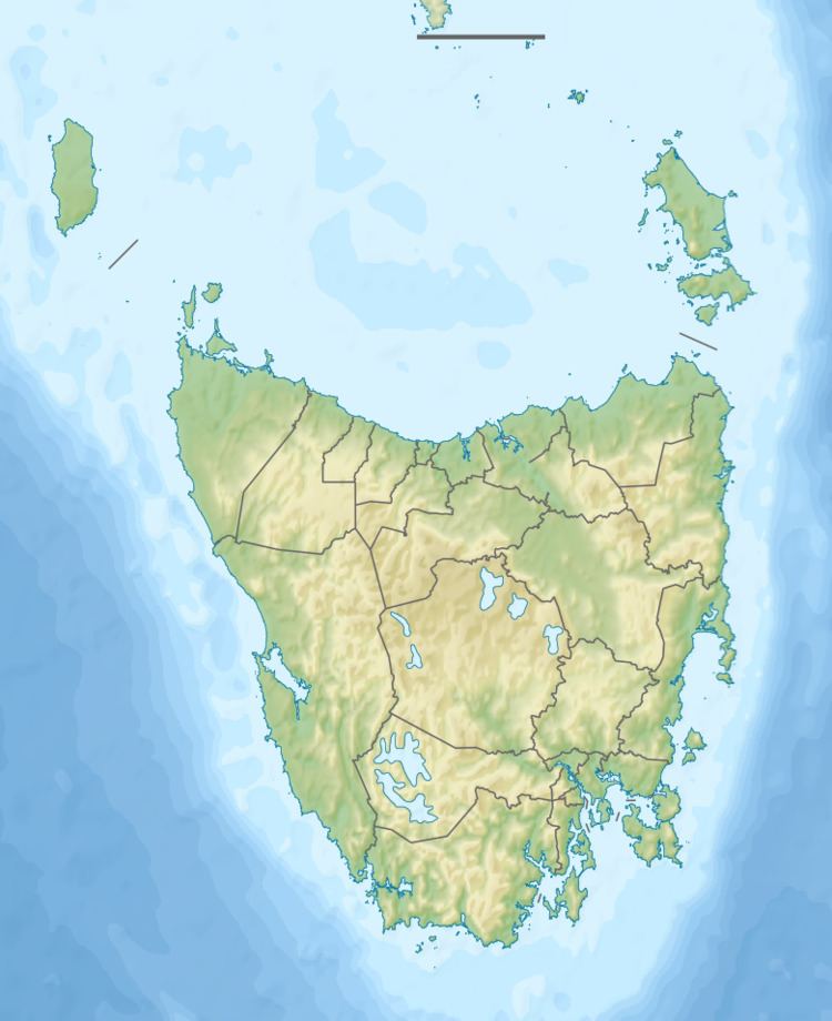
Map of Isis River, Campbell Town TAS, Australia
Location and features
The river rises below It starts below Mount Franklin in the Great Western Tiers west of Ross and flows generally north by east before reaching its confluence with the Macquarie River northwest of Campbell Town. The river flows through the settlements of Lincoln and Auburn . The river descends 682 metres (2,238 ft) over its 38-kilometre (24 mi) course.
References
Isis River (Tasmania) Wikipedia(Text) CC BY-SA