
Population 123 (2006 census) Local time Saturday 12:50 AM | Postcode(s) 7213 Postal code 7213 | |
 | ||
Weather 15°C, Wind NW at 5 km/h, 95% Humidity | ||
Avoca is a small village located 81 kilometres (50 mi) south-east of Launceston in the island of Tasmania. At the 2006 census, Avoca and the surrounding area had a population of 123.
Contents
Map of Avoca TAS 7213, Australia
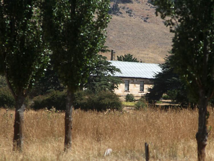
Avoca is situated on the banks of the South Esk River near the confluence of the St. Paul's river in the parish of Avoca and county of Cornwall, and was first settled in the 1830s. It was originally named St. Paul's Plains by the explorers who surveyed the area in 1833. The area was officially settled in 1834 as a farming, coal and tin mining village. It is 99 miles from Hobart, 62 from Launceston, and 19 miles from Campbell Town
In the 19th century, the town had a small Anglican church (St. Thomas'), a school, and a police station. St. Paul's river was crossed by a small stone bridge. St. Paul's Plains Post Office opened on 1 June 1832 and was renamed Avoca in 1837.
Today mines in the area have closed and Avoca serves only as a farming community.
Landmarks
A number of historic buildings exist in the small town, including the St Thomas Anglican Church completed on 8 May 1842, the parish hall completed around 1850, and the Union Hotel built in 1842. Nearby locations include Rossarden, Fingal and Storys Creek.