
Time zone CET (UTC +1) (UTC+1) Area 7.44 km² Local time Monday 12:34 PM | Region Normandy Intercommunality CREA INSEE/Postal code 76681 / Population 30,042 (2008) Mayor Pierre Bourguignon Team Stade sottevillais 76 | |
 | ||
Weather 17°C, Wind E at 11 km/h, 51% Humidity | ||
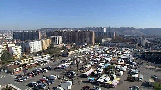
Sotteville-lès-Rouen is a commune in the Seine-Maritime department in the Haute-Normandie region in northern France.
Contents
- Map of 76300 Sotteville lC3A8s Rouen France
- Geography
- Transportation
- Places of interest
- People
- References
Map of 76300 Sotteville-l%C3%A8s-Rouen, France
Geography
The largest suburb of the city of Rouen and adjacent to it, some 2 miles (3.2 km) south of the centre of Rouen at the junction of the D94 and the D18 roads.
Transportation
The métro connects the commune with Rouen and Saint-Étienne-du-Rouvray.
The commune used to be a railway town in the days of the old Rouen tramway.
Places of interest
People
References
Sotteville-lès-Rouen Wikipedia(Text) CC BY-SA