
Topo map USGS Palmdale Range Sierra Pelona Mountains | Elevation 978 m | |
 | ||
Traversed by SR 14, US 6 (until 1964) SR 14U CR N3Union Pacific Railroad Location | ||
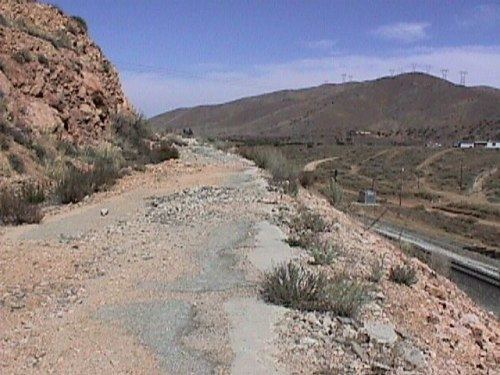
Soledad Pass, elevation 3,209 ft (978 m), is a mountain pass in northern Los Angeles County, California.
Contents
Map of Soledad Pass, California 93550, USA
It is located at the highest point along Soledad Canyon, which winds between the Sierra Pelona Mountains to the northwest and the San Gabriel Mountains to the southeast. The pass provides a direct route between the Santa Clara River watershed and the Antelope Valley of the western Mojave Desert.
The pass is also notable as the highest saddle between two major mountain ranges, the San Bernardino Mountains and the Sierra Nevada.
Transportation routeEdit
Soledad Pass is the lowest crossing of the Great Basin Divide between the Sierra Nevada and the San Bernardino Mountains, so it is traversed by one railroad line and three highways.
The railroad route is a former main line of the Southern Pacific Railroad, now part of Union Pacific Railroad. The importance of the railroad line for freight traffic diminished with the completion of the Palmdale Cutoff over Cajon Pass in the 1960s. The route is now used for the Antelope Valley Line of the Metrolink commuter rail system, and most Union Pacific intermodal trains and the Saugus local as well as the Vulcan rock train. The Vincent Grade/Acton station lies near the summit of Soledad Pass. A proposed alignment of the California High Speed Rail system utilizes this mountain pass.
The Antelope Valley Freeway (State Route 14), the Sierra Highway (formerly U.S. 6), and the Angeles Forest Highway (County Route N3) all use Soledad Pass.