
Elevation 370 m (1,210 ft) Area 4.46 km² Population 94 (31 Dec 2008) Dialling code 06763 | Time zone CET/CEST (UTC+1/+2) Local time Saturday 9:54 PM Postal code 55487 | |
 | ||
Weather 8°C, Wind E at 21 km/h, 49% Humidity | ||
Sohrschied is an Ortsgemeinde – a municipality belonging to a Verbandsgemeinde, a kind of collective municipality – in the Rhein-Hunsrück-Kreis (district) in Rhineland-Palatinate, Germany. It belongs to the Verbandsgemeinde of Kirchberg, whose seat is in the like-named town.
Contents
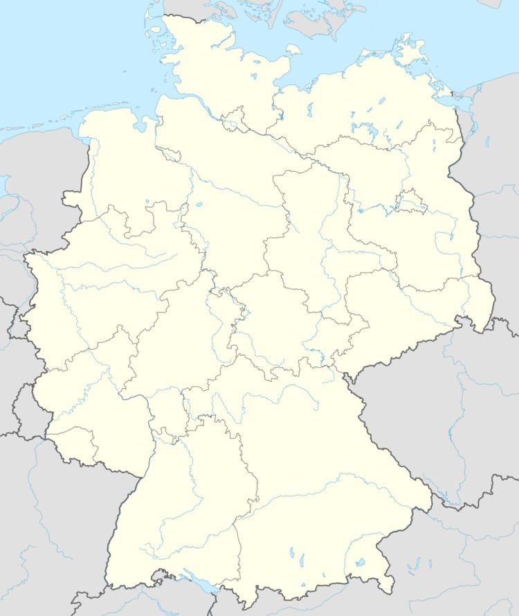
Map of Sohrschied, Germany
Location
The municipality lies in the central Hunsrück on the edge of the Kyrbach valley on both sides of the Aubach. Sohrschied lies roughly 6 km southwest of Kirchberg and 7 km southeast of Frankfurt-Hahn Airport.
History
Early habitation is witnessed by several archaeological finds. A quern-stone from the Iron Age was found near the Sohrbach bridge west of Kreisstraße (District Road) 3. There is an early Roman barrow southwest of the village in the cadastral area known as “Im Haag”. This yielded grave goods that are now in the Bonn Museum. In two other cadastral areas, “Auf Weiler” and “Höll”, remnants of Roman walls have been unearthed.
In 1428, Sohrschied had its first documentary mention in a will written by Count Johann V of Sponheim-Starkenburg. The Lordship of Koppenstein held an estate in the village. The feudal lords were the Wildbergs. Southeast of the village, border stones from 1787 can be found on a juniper heath.
Sohrschied belonged to the high court (that is, blood court) of Rhaunen, held by the Waldgraves and Rhinegraves. From the 16th century, the village was under the lordship of the “Hinder” County of Sponheim. Beginning in 1794, Sohrschied lay under French rule. In 1815 it was assigned to the Kingdom of Prussia at the Congress of Vienna. Since 1946, it has been part of the then newly founded state of Rhineland-Palatinate.
Municipal council
The council is made up of 6 council members, who were elected by majority vote at the municipal election held on 7 June 2009, and the honorary mayor as chairman.
Mayor
Sohrschied’s mayor is Rainer Dreher, and his deputy is Klaus Dreher.
Coat of arms
The German blazon reads: Gespalten von Blau und Gold durch eine rot-silber geschachte erniedrigte eingeschweifte Spitze, vorn eine silberne heraldische Lilie, hinten ein blaubewehrter und -gezungter roter Löwe in Gold.
The municipality’s arms might in English heraldic language be described thus: Tierced in mantle, dexter azure a fleur-de-lis argent, sinister Or a lion rampant gules armed and langued of the first, and in base chequy of twelve of the third and second.
The lion refers to the village’s former status as part of the Waldgraves’ and Rhinegraves’ high court. The lily refers to Saint Mary, thus representing the chapel’s patron saint. The “chequy” pattern a reference to the village’s former allegiance to the “Hinder” County of Sponheim, which began in the 16th century.
Buildings
The following are listed buildings or sites in Rhineland-Palatinate’s Directory of Cultural Monuments: