Isolation 21.92 mi (35.28 km) Elevation 2,536 m | Topo map USGS Tripod Peak Prominence 939 m | |
 | ||
Similar Mores Mountain, Trinity Mountain, Smoky Dome, Goat Mountain, Mount Harrison | ||
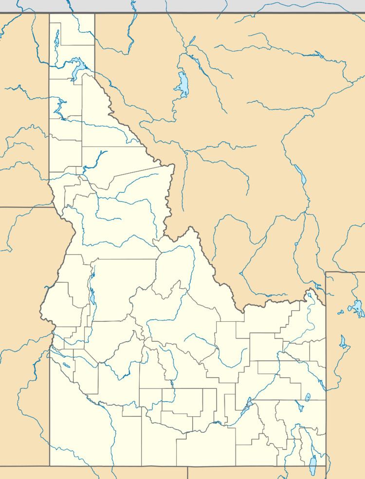
Snowbank Mountain is the highest point in the West Mountains, in Boise National Forest, Idaho with a summit elevation of 8,320 feet (2,540 m) above sea level. It is located 21.92 miles (35.28 km) from Nick Peak, its line parent, giving it a prominence of 3,080 feet (940 m). The east side of Snowbank Mountain is drained by the North Fork Payette River, while the west side is drained by Squaw Creek, which is also a tributary of the Payette River.
Map of Snowbank Mountain, Idaho 83611, USA
References
Snowbank Mountain (Idaho) Wikipedia(Text) CC BY-SA
