
Elevation 8,320 ft (2,540 m) Width 46 mi (74 km) E/W Topo map USGS Tripod Peak | Length 76 mi (122 km) N/S Area 5,252 km² | |
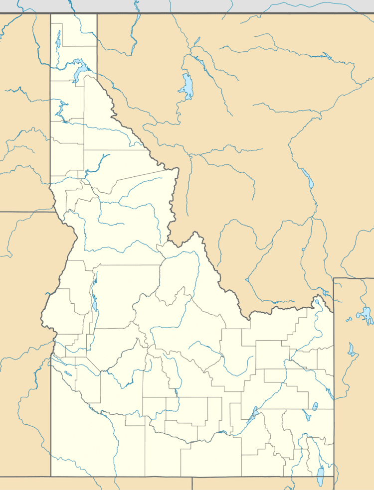 | ||
The West Mountains are a mountain range in the U.S. state of Idaho, spanning part of Boise and Payette national forests. The highest point in the range is Snowbank Mountain at an elevation of 8,320 feet (2,540 m) above sea level. The range is bordered to the east by the Payette River and the North Fork Payette River, which separate the range from the Boise Mountains.
Map of West Mountains, Idaho, USA
References
West Mountains Wikipedia(Text) CC BY-SA