
Country United States Elevation 263 m Local time Friday 1:46 PM | GNIS feature ID 453853 Area 91.4 km² Population 5,327 (2010) | |
 | ||
Weather 21°C, Wind SW at 32 km/h, 57% Humidity | ||
Smith Township is one of nine townships in Whitley County, Indiana, United States. As of the 2010 census, its population was 5,327 and it contained 2,244 housing units.
Contents
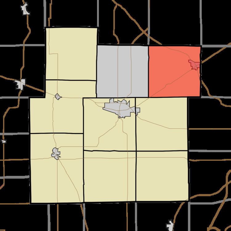
- Map of Smith Township IN USA
- Geography
- Cities and towns
- Unincorporated towns
- Adjacent townships
- Cemeteries
- Major highways
- References
Map of Smith Township, IN, USA
Geography
According to the 2010 census, the township has a total area of 35.3 square miles (91 km2), of which 34.93 square miles (90.5 km2) (or 98.95%) is land and 0.37 square miles (0.96 km2) (or 1.05%) is water. Lakes in this township include Blue Lake, Devil Lake, Devils Lake and Little Lake. The stream of Mud Run runs through this township.
Cities and towns
Unincorporated towns
(This list is based on USGS data and may include former settlements.)
Adjacent townships
Cemeteries
The township contains three cemeteries: Concord, Garrison and Jeffries.
Major highways
References
Smith Township, Whitley County, Indiana Wikipedia(Text) CC BY-SA