
Country United States Elevation 301 m Local time Thursday 7:01 PM | GNIS feature ID 0453345 Area 93.32 km² Population 2,123 (2010) | |
 | ||
ZIP codes 46701, 46710, 46723, 46763 Weather 3°C, Wind N at 14 km/h, 61% Humidity | ||
Green Township is one of thirteen townships in Noble County, Indiana, United States. As of the 2010 census, its population was 2,123 and it contained 734 housing units.
Contents
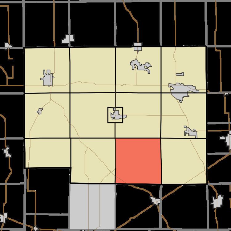
- Map of Green Township IN USA
- History
- Geography
- Unincorporated towns
- Cemeteries
- Major highways
- Airports and landing strips
- Lakes
- School districts
- Political districts
- References
Map of Green Township, IN, USA
History
The Stanley School-District No. 2 was listed on the National Register of Historic Places in 2014.
Geography
According to the 2010 census, the township has a total area of 36.03 square miles (93.3 km2), of which 35.67 square miles (92.4 km2) (or 99.00%) is land and 0.37 square miles (0.96 km2) (or 1.03%) is water.
Unincorporated towns
(This list is based on USGS data and may include former settlements.)
Cemeteries
The township contains Grays Cemetery.
Major highways
Airports and landing strips
Lakes
School districts
Political districts
References
Green Township, Noble County, Indiana Wikipedia(Text) CC BY-SA