
Country United States Elevation 260 m Local time Friday 2:11 PM | GNIS feature ID 453940 Area 95.8 km² Population 2,244 (2010) | |
 | ||
Weather 6°C, Wind N at 18 km/h, 92% Humidity | ||
Union Township is one of nine townships in Whitley County, Indiana, United States. As of the 2010 census, its population was 2,244 and it contained 884 housing units.
Contents
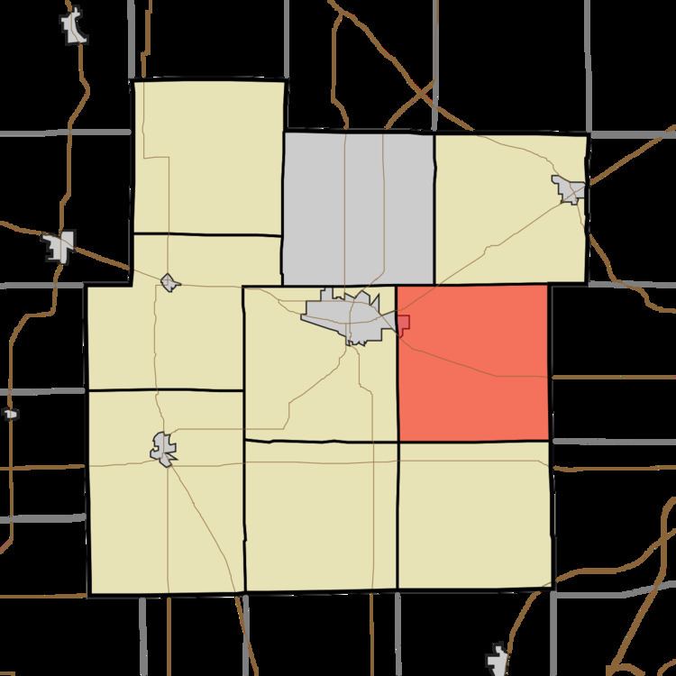
- Map of Union Township IN USA
- Geography
- Cities and towns
- Unincorporated towns
- Adjacent townships
- Cemeteries
- Major highways
- Airports and landing strips
- References
Map of Union Township, IN, USA
Geography
According to the 2010 census, the township has a total area of 36.99 square miles (95.8 km2), of which 36.95 square miles (95.7 km2) (or 99.89%) is land and 0.04 square miles (0.10 km2) (or 0.11%) is water. The stream of Emerick Branch runs through this township.
Cities and towns
Unincorporated towns
(This list is based on USGS data and may include former settlements.)
Adjacent townships
Cemeteries
The township contains two cemeteries, Union Township Cemetery (NE corner of US 30 and 500 E) and Lutheran Cemetery on Lincoln Way just East of 600 E.
Major highways
Airports and landing strips
References
Union Township, Whitley County, Indiana Wikipedia(Text) CC BY-SA