
Area 24.32 km (9.39 sq mi) Civil parish Slaugham | OS grid reference TQ257281 Local time Friday 12:40 AM | |
 | ||
Population 2,226 2001 Census2,769 (2011 Census) Weather 8°C, Wind NE at 21 km/h, 85% Humidity Points of interest Nymans, Nymans Gardens National, High Beeches Gardens | ||
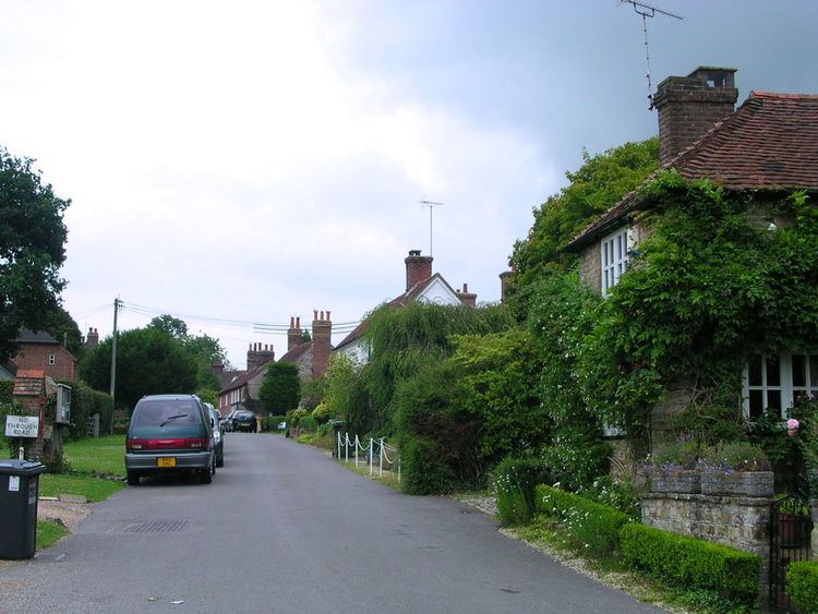
Slaugham (pronounced "Slaffam") is a village and civil parish in the Mid Sussex District of West Sussex, England. It is located 7 miles (11 km) to the south of Crawley, on the A23 road to Brighton. The civil parish covers an area of 2,432 hectares (6,010 acres) and has a population of 2,226 persons of whom 1,174 were economically active in 2001( census). At the 2011 Census the parish included the villages of Handcross plus Warninglid and had a population of 2,769.
Map of Slaugham, UK
In addition to Slaugham the parish contains the settlements of Pease Pottage, Handcross and Warninglid. St Mary's Church, a Grade II* listed building dating mostly from the 12th and 13th centuries and situated opposite Slaugham's village green, serves all four villages.
References
Slaugham Wikipedia(Text) CC BY-SA