
OS grid reference TQ262297 Post town HAYWARDS HEATH Dialling code 01444 | Sovereign state United Kingdom Postcode district RH17 | |
 | ||
Handcross is a village in the Mid Sussex District of West Sussex, England. It lies on the A23 road 4.2 miles (6.8 kilometres) south of Crawley. At the 2011 Census the population fell within the civil parish of Slaugham.
Contents
Map of Handcross, Haywards Heath, UK
Nymans Garden, 30 acres (12 hectares) of parklands run by the National Trust, is located adjacent to the High Street, as are 20 acres (8 ha) of woodland and water gardens at High Beeches Garden.
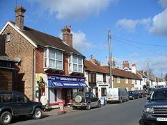
Handcross has two public houses, The Red Lion (High Street), which was refurbished in 2010 in contemporary style, and The Royal Oak (Horsham Road), which is a more traditional "English" pub, offering home cooked food and cask ales. Handcross also boasts a Social club, serving the community.
Handcross Primary School, situated at the northern end of the village recently underwent extensive building works to increase capacity. Opposite the primary school is Handcross Park School, an independent prep school.
Handcross Hill
Handcross Hill is a stretch of the A23 road which runs past the village. This part of dual carriageway is notorious for accidents due to it being on a steep gradient, being surrounded by trees and containing a number of sharp bends, those being unsuitable for a road of its type. The hill has proved to be dangerous enough to be widened and straightened by the Highways Agency and the cutting of the surrounding trees began overnight in mid-2011. The project was completed in late 2014.