
Elevation 1,711 m | Prominence 618 m | |
 | ||
Similar Fløtatinden, Ryssdalsnebba, Vikesoksa, Dronningkrona, Juratinden | ||
Lars6301 2007 04 28 randotur upp p skjorta wmv
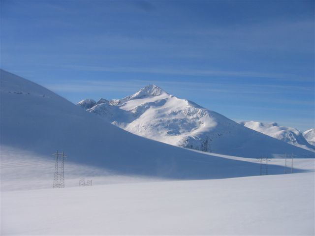
Skjorta is a mountain in the municipality of Nesset in Møre og Romsdal county, Norway. The mountain is located 5 kilometres (3.1 mi) southeast of the Eresfjorden, 5 kilometres (3.1 mi) north of the lake Eikesdalsvatnet and the mountain Fløtatinden, 5 kilometres (3.1 mi) east of the Eira River and the village of Eresfjord, and 1.5 kilometres (0.93 mi) west of the municipal border with Sunndal. From the summit, there is a view of Mardalsfossen, about 20 kilometres (12 mi) to the south.
Contents
- Lars6301 2007 04 28 randotur upp p skjorta wmv
- Lars6701 rando tour up on skjorta and an descent down wmv
- References
Lars6701 rando tour up on skjorta and an descent down wmv
References
Skjorta Wikipedia(Text) CC BY-SA