
Elevation 1,711 m | Prominence 390 m | |
 | ||
Similar Skjorta, Vikesoksa, Ryssdalsnebba, Dronningkrona, Juratinden | ||
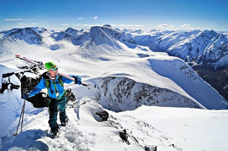
Fløtatinden (also called Trondskjortetinden) is a mountain in the municipality of Nesset in Møre og Romsdal county, Norway. The summit is a popular ski destination, accessed from the east.
Map of Fl%C3%B8tatinden, 6470 Eresfjord, Norway
The mountain is located on the eastern shore of the lake Eikesdalsvatnet, and it has a view towards the Mardalsfossen waterfall in the south and the mountain Skjorta in the north. The village of Eresfjord lies about 10 kilometres (6.2 mi) to the northwest along the Eira River.
References
Fløtatinden Wikipedia(Text) CC BY-SA