Country State | Language spoken Hindi District | |
 | ||
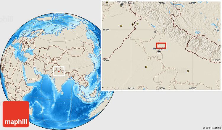
Map of Sisauli
Sisauli is a town and a Nagar Panchayat in Muzaffarnagar district in the Indian state of Uttar Pradesh. It is situated on Muzaffarnagar-Shamli border.
Contents
- Map of Sisauli
- Ch tikait sisauli
- Geography
- Demographics
- Education
- Renowned persons
- Important places
- Nearby villages
- References

Ch tikait sisauli
Geography
Sisauli is located at 29.42°N 77.47°E / 29.42; 77.47. It has an average elevation of 238 metres (780 feet). Sisauli in Google Maps
Demographics
As of 2011 India census Sisauli had a population of 15,245. Males constitute 54% of the population and females 46%. Sisauli has an average literacy rate of 58%, lower than the national average of 59.5%: male literacy is 67%, and female literacy is 46%. In Sisauli, 15% of the population is under 6 years of age. Sisauli is the center of the farmers' revolution against the price of the sugarcane and the other problems of farmers.
Education
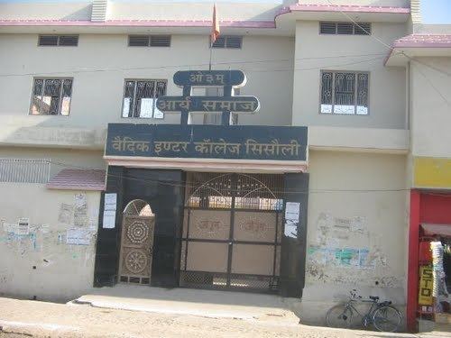
There are schools mostly associated with UP board. Well known schools are DAV Inter College(UP Board), Rajkiya Kanya Pathshala(UP Board), Janta Inter College(UP Board), Vaidic Inter College, Arya Samaj(UP Board), Moon Light Public School(CBSE), Shashwat Public School (CBSE), There is one degree college for girls, Mukhtyari Devi Kanya Mahavidyalaya associated to CCS.
Surprisingly, there is a degree college for girls here but not for boys. In the present scenario almost every boy and girl goes to school. As a tradition, the immortal knowledge in this village; still comes through the tales by grandparents. But technically too, many students have gone for higher studies of medical,engineering and financial fields.
Renowned persons
Important places
Nearby villages
Shikarpur, Mundbhar, Bhora Khurd, Bhora Kalan, Alawalpur Majra, Khedi Sundiyan, "Sawtoo",Hadoli Majra, Bhajju, Budina Kalan, Charoli, Kutba, Kutbi, Mohammadpur Madan, Sonta.
