
 | ||
12719 sir francis drake boulevard inverness ca marin homes for sale
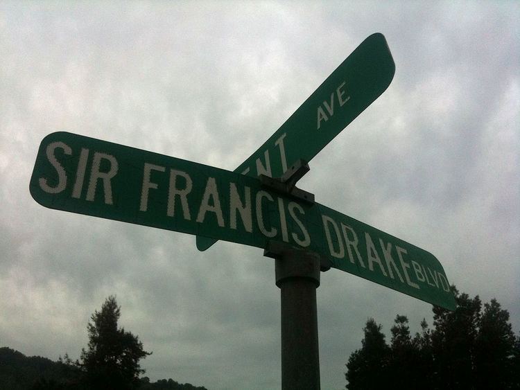
Sir Francis Drake Boulevard is an east–west arterial road in Marin County, California, running from just west of the Richmond-San Rafael Bridge (where it intersects with Interstate 580) to the trailhead for Point Reyes Lighthouse at the end of the Point Reyes Peninsula.
Contents
- 12719 sir francis drake boulevard inverness ca marin homes for sale
- Map of Sir Francis Drake Blvd California USA
- Sir francis drake boulevard
- References
Map of Sir Francis Drake Blvd, California, USA
It is named for the English explorer Francis Drake, whose ship The Golden Hinde landed somewhere along the Pacific coast of North America in 1579, claiming the area for England as "Nova Albion." Drake's landing place has often been theorized to be at what is now called Drakes Bay on Point Reyes, the western terminus for the boulevard.
In the 1960s, the majority of the route of Sir Francis Drake Boulevard was to be expanded into State Route 251; however this plan was not implemented due to strong opposition by environmental groups.