
Country Language spoken Area 25 km2 | State District Nashik | |
Sinnar (Marathi-??????) is a city and a municipal council in Sinnar taluka of Nashik district in the Indian state of Maharashtra.
Contents
Map of Sinnar
Demographics
As of 2001 India census, Sinnar had a population of 65,299. Males constitute 52% of the population and females 48%. Sinnar has an average literacy rate of 71%, higher than the national average of 59.5%: male literacy is 77%, and female literacy is 64%. In Sinnar, 15% of the population is under 6 years of age.
Sinnar sinnar nashik sinnar midc
History
At its peak, the Seuna or Yadava dynasty (850 - 1334) ruled a kingdom stretching from the Tungabhadra to the Narmada Rivers, including present-day Maharashtra, north Karnataka and parts of Madhya Pradesh. The capital was at Devagiri, now known as Daulatabad in Maharashtra. The reign of the Yadava dynasty declined after the conquest of the Daulatabad Fort by Alauddin Khilji in 1294. Further conquest by Malik Kafur, Alauddins general, in 1312 resulted in the killing of the members of the Yadava clan ending this illustrious dynasty.
Geography
Sinnar is located at 19.85°N 74.0°E? / 19.85; 74.0. It has an average elevation of 651.4 metres (2135 feet). Sinnar is one of the major industrial zones of Malegaon (MIDC) built around the city of Nashik which have multiple international production companies. It lies 30 km southeast of Nashik city on the Pune - Nashik Highway.
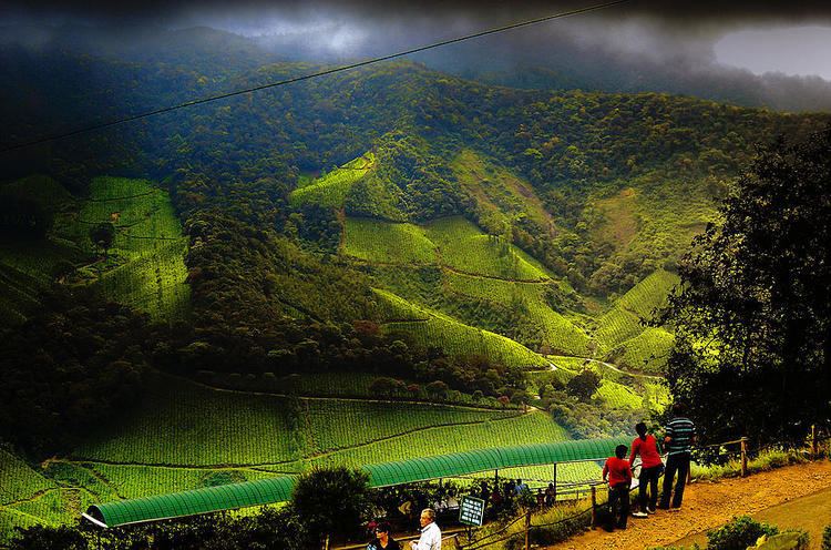
Tourism
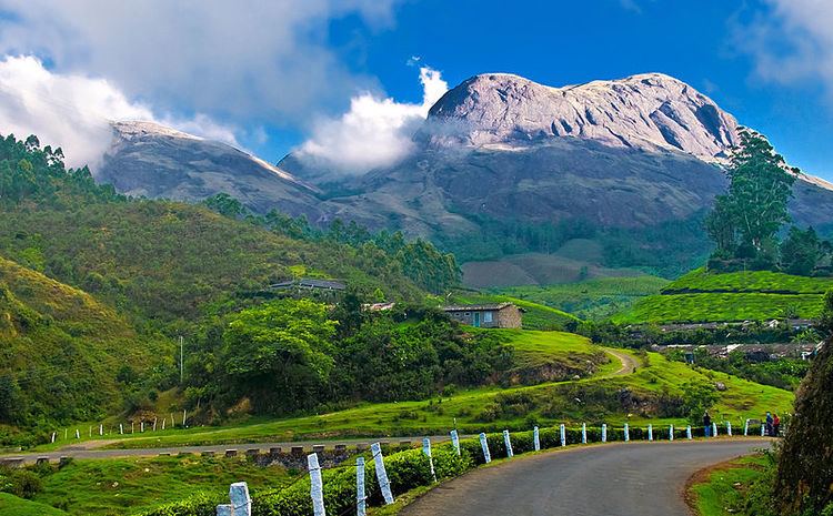
Tourist attractions in Sinnar include: