
Country India | Time zone IST (UTC+5:30) Vehicle registration WB | |
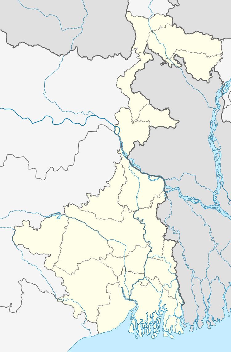 | ||
Kamarkundu is a village in Kamarkundu Gopalnagar gram panchayat in Singur block in Chandannagore subdivision of Hooghly district in the Indian state of West Bengal.
Contents
Map of Kamarkundu, West Bengal 712407
Geography
Kamarkundu is located at 22°50′N 88°12′E
This is a rich agricultural area with several cold storages.
Transport
At Kamarkundu railway station, the Sheoraphuli-Bishnupur branch line goes above the Howrah-Bardhaman chord. Since the lines are at two levels, trains cannot switch routes. Platforms are at two levels.
References
Kamarkundu Wikipedia(Text) CC BY-SA