
Country Area 1,567.70 km2 District | Language spoken State Population 360,164 | |
 | ||
Map of Sindhanur
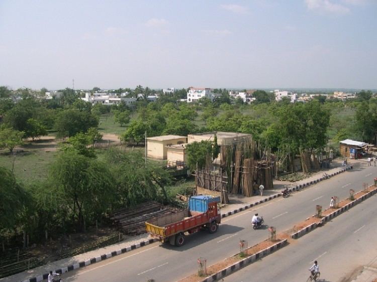
Sindhanur (also spelled Sindhnur) is a town and a major taluk in Raichur District, Karnataka, India.
Contents
- Map of Sindhanur
- Drive through sindhanur town karnataka 2016 07 04
- Geography
- Demographics
- Transport
- References
Drive through sindhanur town karnataka 2016 07 04
Geography
Sindhanur is located at 15.78°N 76.77°E / 15.78; 76.77. It has an average elevation of 377 metres (1,237 ft). Its area is 1567.70 km2.
Demographics
As of 2001 India census, Sindhanur had a population of 61,292 (51% male, 49% female). Sindhanur has an average literacy rate of 54%, lower than the national average of 59.5%: male literacy is 63%, and female literacy is 44%. In Sindhanur, 15% of the population is under 6 years of age.
SPECIALITIES
Transport
Sindhanur is well connected by road to Raichur, Hyderabad, Bengaluru, Mantralaya, Mangaluru, Mysuru, Vijayawada, Sholapur, Hubballi, Davanagere & Amaravati. The Karnataka State Road Transport Corporation (KSRTC) runs buses to major towns and cities in Karnataka. The nearest major railway stations is at Raichur. Sindhanur is also preparing to get connected through Railway Line connected from Ginigera to Raichur.