
Founded 14 August 1600 Elevation 2,559 m Population 13,077 (2015) | Website Official website Area 107 km² Local time Tuesday 11:24 PM | |
 | ||
Founded by Luis Enríquez & Juan López de Linares Time zone Colombia Standard Time (UTC-5) | ||
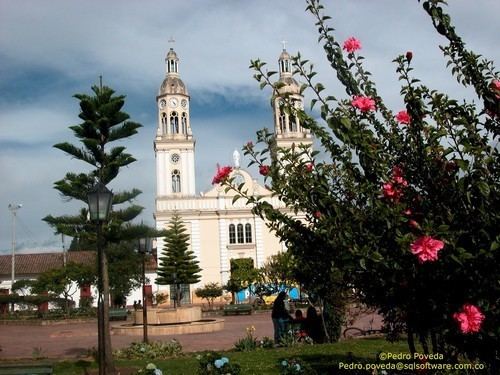
Simijaca (pronounced/SIMIH'ækƏ/) is a town and municipality in the Ubaté Province, part of the Cundinamarca Department, Colombia. The town centre is located at an altitude of 2,559 metres (8,396 ft) on the Altiplano Cundiboyacense at 136 kilometres (85 mi) from the capital Bogotá. Simijaca borders the Boyacá municipalities Chiquinquirá and Caldas in the north, Susa and Carmen de Carupa in the south, Caldas in the west and San Miguel de Sema in the east.
Contents
Map of Simijac%C3%A1, Cundinamarca, Colombia
Etymology
Simijaca means in the Chibcha language of the Muisca "Blue circle" or "Nose of the white owl".
History
The area of Simijaca before the Spanish conquest was part of the Muisca Confederation. Initially loyal to the zaque of Hunza, Simijaca changed rule around 1490 when it was submitted by zipa Saguamanchica.
The first Spanish establishment was done by Rodrigo Mexia Serrano on February 26, 1586. However, this population was ephemeral. And when the oidor (judge) Luis Enrique did a visitation, in July 1600, the natives had not populated the town and the entrusted had not built the church. By act on August 14, 1600, carried out by Luis Enríquez & Juan López de Linares in Cucunubá, the new and actual town of Simijaca was established. It was formed by indigenous people from Simijaca, Fúquene and Nemoguá.
Economy
Main economical activity in Simijaca is agriculture with products onions, beans, maize, potatoes and peas as most important agricultural products.