
Website Official website | Average annual precipitation 85% mm Lok sabha constituency Khunti | |
 | ||
Neighborhoods Thakurtoli, Gadhatoli, JHULAN SINGH CHOWK | ||
Simdega district is one of the twenty-four districts of Jharkhand state, India, and Simdega town is the administrative headquarters of this district. This district was carved out from erstwhile Gumla district on 30 April 21. It is currently a part of the Red Corridor. As of 2011 it is the third least populous district of Jharkhand (out of 24), after Lohardaga and Khunti districts.
Contents
- Map of Simdega Jharkhand 835223
- Economy
- BlocksMandals
- Demographics
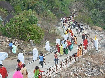
- Popular places in Simdega District
- References
Map of Simdega, Jharkhand 835223
Economy
In 2006 the Miniry of Panchayati Raj named Simdega one of the country's 250 most backward districts (out of a total of 640). I is one of the 21 districts in Jharkhand currently receiving funds from the Backward Regions Grant Fund Programme (BRGF). Simdega is a minority concentrated district.
Blocks/Mandals
The following are the list of blocks in Simdega district.
Demographics
According to the 2011 census Simdega district has a population of 599,813, roughly equal to the nation of Solomon Islands or the US state of Wyoming. This gives it a ranking of 526th in India (out of a total of 640). The district has a population density of 160 inhabitants per square kilometre (410/sq mi) . Its population growth rate over the decade 2001-2011 was 16.62%. Simdega has a sex ratio of 1000 females for every 1000 males, and a literacy rate of 67.59%. It is the only Christian majority district in Jharkhand.