
Length 61.5 mi (99 km) Sights Brushy Mt. Tunnel Phone +1 770-528-8865 | Surface paved | |
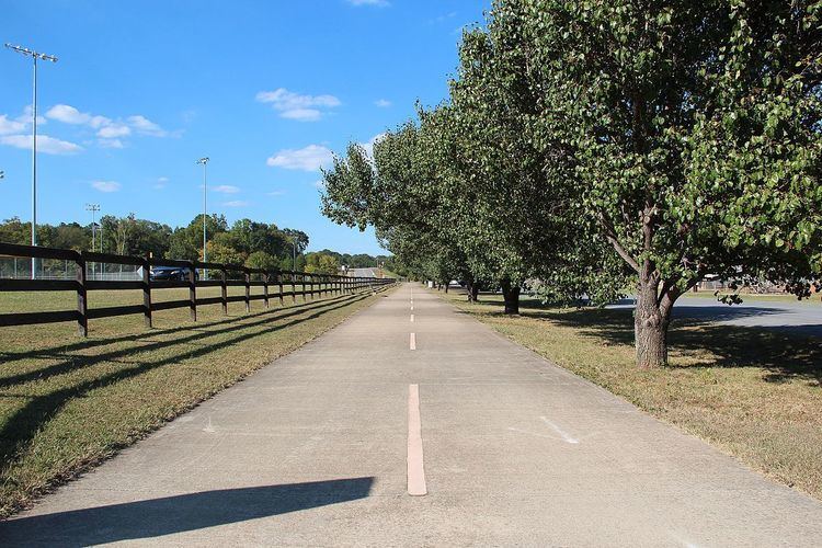 | ||
Use Bicycle, Running, Hiking, Dogs on leash, Horseback Riding, Roller/Inline Skating, and Skateboarding Hours Open today · Open 24 hoursTuesdayOpen 24 hoursWednesdayOpen 24 hoursThursdayOpen 24 hoursFridayOpen 24 hoursSaturdayOpen 24 hoursSundayOpen 24 hoursMondayOpen 24 hoursSuggest an edit Similar Chattahoochee River National, Kennesaw Mountain National, Arabia Mountain, Cumberland Mall, Sope Creek | ||
Georgia to alabama on the silver comet trail
The Silver Comet Trail is a rail trail in western Georgia.
Contents
Route
The Silver Comet Trail is named for the Silver Comet passenger train that traversed the same route from 1947 to 1969. It begins in Smyrna, Georgia, runs west through Paulding and Polk counties, and connects with Alabama's Chief Ladiga Trail at the Georgia-Alabama border.
The Silver Comet and Chief Ladiga trails join to form one continuous 94-mile (151 km) trail from Smyrna, Georgia to Anniston, Alabama.
History
In 1947, the Silver Comet was introduced by the Seaboard Air Line Railroad (SAL) during the height of passenger rail use. Due to declining ridership, the Silver Comet was downgraded in the 1960s, losing its sleeper-lounger cars. In 1969, the Silver Comet was downgraded again and finally discontinued in June of that year, by SAL successor Seaboard Coast Line (SCL).
By 1986 SCL had gradually merged with several nearby railroads, forming the Seaboard System, which had become CSX Transportation by July 1987. CSX abandoned 36 miles (58 km) of the former Silver Comet route from Cobb County through Paulding and Polk counties in 1989. In 1992, the Georgia Department of Transportation initially purchased the former roadbed for future use as a high-speed transit route, but later that year, Ron Griffith, Director of Cobb County Parks, requested a lease agreement between Cobb County and the Georgia DOT to use the rail line as a multi-use trail. The Cobb County Board of Commissioners approved the multi-use trail plan in November.
Construction began in July 1998, with the initial Nickajack Creek-Hicks Road section opening by that November. Counting its continuation with the Chief Ladiga Trail to the west, the Silver Comet Trail is now the second longest rail trail in the U.S.
Geology
In Paulding County, the Silver Comet Trail crosses over the Allatoona Fault; where the trail intersects the fault in the vicinity of Willow Springs Road, the fault serves to divide the distinctive Eastern Blue Ridge rocks from those that most characterize the Western Blue Ridge Province. One rock formation of particular note in Paulding County is the Ordovician-age Pumpkinvine Creek Formation (PCF), primarily composed of metamorphosed volcanic rocks thought to have originated out in the now-vanished, ancient ocean that geologists generally refer to as Iapetus.
The meta-volcanic rocks of the PCF are believed to be remnants of the sort of so-called "accreted terranes" described above, and exposures of PCF rocks can be found on the Silver Comet Trail near the Allatoona Fault.