
Intercommunality Vernois Area 10.46 km² | Population (1999) 351 Local time Tuesday 9:53 PM | |
 | ||
Weather 6°C, Wind S at 11 km/h, 94% Humidity | ||
Sillegny (German: Sillningen) is a commune in the Moselle department in Grand Est in north-eastern France.
Contents
Map of 57420 Sillegny, France
The inhabitants are referred to as the Sillegnois.
Geography
Sillegny is located in the Seille Valley, a floodplain along the Seille river which flows near the village. In the west, the Côtes de Moselle massif and its outliers dominate the region.
Loiville, a hamlet belonging to the commune, is situated in the north, over the Rû des Crux in the direction of Coin-sur-Seille.
History
The Roman road which connected Lyon to Trier runs west from the village along the Forêt Dominale des Six Cantons forest. Ruins of a villa were found near this road, what is a proof of the ancient occupation of Sillegny. Furthermore, the suffix "-y" comes from the Latin suffix "-iacum" (which comes himself from the Gaulish language "-ac") indicates a rural estate near a stream (the Seille river).
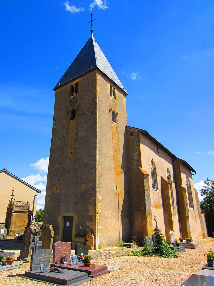
In the 11th century, Sillegny belonged to the abbey of Saint Pierre, and one century later to the Bishopric of Metz. In 1226 the name of the town changed and became Sulincium. In 1246 the bishop Jacques ceded the village to Sainte Marie abbey but the Diocese kept St. Martin church until the French Revolution. In 1635, at the end of the Thirty Years' War, Sillegny was nearly destroyed by the Swedish and the church became a pilgrimage place.
From 1871 to 1918 and between 1940 and 1945, when Alsace and Lorraine were annexed by Germany (see Treaty of Frankfurt (1871)), Sillegny became a German town renamed Sillningen situated in the Imperial Province of Elsass-Lothringen. The bombings of 1944 destroyed almost all the village. During the German period, casemates (fortified gun emplacements) were built in the Forêt Dominale des Six Cantons, near Les Jurieux and Marly-aux-Bois (close to the Roman road) and along the D 67 road.