
OS grid reference SD129819 Post town MILLOM Dialling code 01229 | Sovereign state United Kingdom Postcode district LA18 Civil parish Whicham | |
 | ||
Western lake district coast millom haverigg silecroft
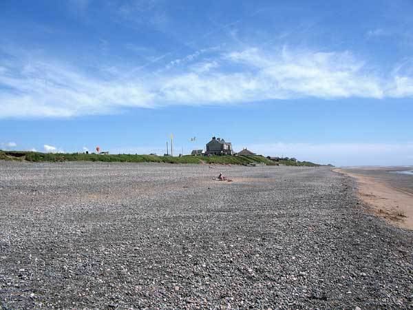
The village of Silecroft in Cumbria is in the parish of Whicham. It is situated between the towns of Millom and Bootle, and also neighbours the towns/villages of Haverigg, Kirksanton and Whitbeck.
Contents
Map of Silecroft, Millom, UK
Black Combe, a hill near Silecroft, takes two hours to climb, with views on clear days of Ireland, Scotland, Wales and if you look down, England, a visit could be extended to cover White Combe, a neighbouring fell. The main route is from Whicham church, which has a small car park. The routes up the hill are well-trodden and easy to follow. Black Combe measures 600 metres - an altitude of 1970 ft.
Silecroft has many facilities including: a railway station, caravan park, bed and breakfast, village shop, pub, horse trekking centre and golf course. The agricultural landscape of the area leaves many open fields and small forests, giving the village a peaceful atmosphere.