
Population 742 (2011) Civil parish Bootle Local time Monday 11:29 PM | OS grid reference SD106882 Sovereign state United Kingdom UK parliament constituency Copeland | |
 | ||
Weather 6°C, Wind NW at 18 km/h, 92% Humidity | ||
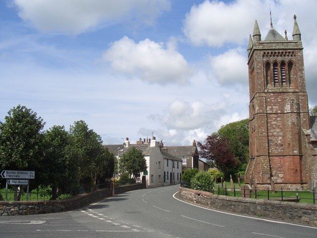
Bootle (oo as in boot) is a village and civil parish in the Borough of Copeland in Cumbria, England. According to the 2001 census, it had a population of 745. Historically in Cumberland, the village is in the Lake District National Park, and is close to the Irish Sea coast. Near to Bootle is the Eskmeals Firing Range, which was a large employer but in the mid to late 1990s reduced the workforce. Also within the parish is Hycemoor, a hamlet situated 1.2 miles (1.9 km) north-west of Bootle, where Bootle railway station is located.
Contents
- Map of Bootle UK
- History
- Governance
- Transport
- Education
- Religious sites
- Surnames
- Notable residents
- References
Map of Bootle, UK
History
Bootle is listed in the Domesday Book as one of the townships forming the Manor of Hougun held by Earl Tostig. A charter for a market and a fair for the 'exaltation of the cross' was granted in 1347 by King Edward III to John de Huddleston, Lord of Millom.
Governance
An electoral ward of the same name exists. This ward stretches north along the coast as far as Muncaster with a total population of 1,300.
Transport
Education
Religious sites
Surnames
Most common surnames in Bootle at the time of the United Kingdom Census of 1881, by order of incidence: