
Population 1,841 (2011.Ward) Sovereign state United Kingdom Local time Saturday 6:14 AM | OS grid reference SD160787 Dialling code 01229 UK parliament constituency Copeland | |
 | ||
Weather 9°C, Wind W at 23 km/h, 96% Humidity | ||
Western lake district coast millom haverigg silecroft
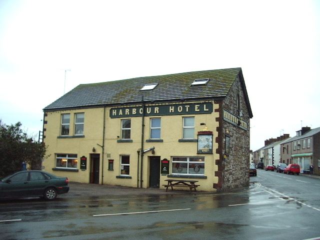
Haverigg, a village on the south-west coast of Cumbria, England, historically part of the county of Cumberland. It is a ward within the civil parish of Millom, and is within the local government district of Copeland. In 2001 it had a population of 1,791 in 548 households, increasing in 2011 to a population of 1,849 in 549 Households. The name Haverigg derives from the Old Norse and can be translated as ‘the hill where oats are grown’.
Contents
- Western lake district coast millom haverigg silecroft
- Map of Haverigg Millom UK
- Beautiful haverigg cumbria united kingdom saturday 6th april 2013
- References
Map of Haverigg, Millom, UK
Haverigg is at the mouth of the Duddon Estuary, a protected area important for birds and other wildlife. Haverigg has an extensive, quiet Blue Flag beach. There is also access to a seawall with a lighthouse which protects Hodbarrow Lagoon, part of Hodbarrow RSPB Reserve.
The village is also home to Haverigg Prison, a low security prison for males from all over the North of England.
An independent lifeboat station, Haverigg Inshore Rescue Team, has been based in the village since 1973 assisting those in difficulty around the Duddon coastline.