
 | ||
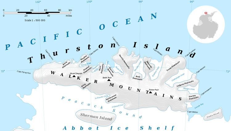
Sikorski Glacier (71°49′S 98°24′W) is a small glacier in the northeast part of Noville Peninsula, Thurston Island. It flows northeast to Bellingshausen Sea between Mounts Palmer and Feury. First roughly delineated from air photos taken by U.S. Navy Operation Highjump, 1946-47. Named by Advisory Committee on Antarctic Names (US-ACAN) for Stephen Sikorski, electronics technician on the USS Glacier, who assisted in setting up an automatic weather station on Thurston Island during the U.S. Navy Bellingshausen Sea Expedition in February 1960.
Contents
Map of Sikorski Glacier, Antarctica
Maps
This article incorporates public domain material from the United States Geological Survey document "Sikorski Glacier" (content from the Geographic Names Information System).
References
Sikorski Glacier Wikipedia(Text) CC BY-SA