
Time zone UTC (UTC±0) | Area 70,280 km² | |
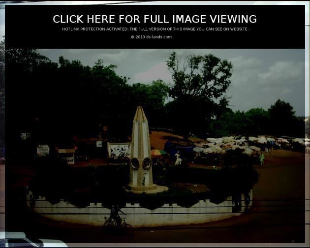 | ||
Jekafo gelekan rural information system for farmers in the sikasso region part 3
Sikasso Region is the southern-most region of Mali. The region's capital city, Sikasso, is the country's second-largest city and is growing rapidly due to people fleeing the violence in Côte d'Ivoire to the south. Major ethnic groups include the Senoufo, known for masks and reverence for animals, the Samago, known for being Mali's best farmers, and the main ethnic group in Mali, the Bambara people.The local economy is based on farming and the Sikasso, which receives more rain than any other Malian region, is known for its fruits and vegetables.
Contents
- Jekafo gelekan rural information system for farmers in the sikasso region part 3
- Map of Sikasso Region Mali
- Administrative divisions
- References
Map of Sikasso Region, Mali
Administrative divisions
Sikasso Region is divided into seven cercles:
The city of Sikasso is known for a vibrant outdoor market which features fabrics, numerous vegetables and fruits (especially mangoes, for which Sikasso is particularly renowned.) Sikasso is an ethnic and linguistic melting pot featuring people from outlying villages, immigrants from Côte d'Ivoire and Burkina Faso and refugees.
The southwest corner of the Sikasso region is traditionally known as Wassoulou. This area is known for its unique music and strong tradition of hunting. The main city of Wassoulou is Yanfolila.
Besides the regional capital, the other urban communes and major cities in Sikasso Region are Bougouni, a junction town en route to Bamako (the capital of Mali), and Koutiala in the northern part of Sikasso Region, which is the hub of Mali's highly productive cotton industry, which produces one of the country's few exports.