
Time zone GMT (UTC+0) Local time Friday 1:34 AM Number of airports 1 | Elevation 344 m Population 59,679 (2009) | |
 | ||
Weather 26°C, Wind NE at 6 km/h, 18% Humidity | ||
Mali football super cup djoliba ac vs bougouni 6 5 28 10 2012
Bougouni is a commune and city in Mali, the administrative center of Bougouni Cercle, which is in turn found in the administrative region of Sikasso. Bougouni is located 170 km south of Bamako and 210 km west of the city of Sikasso. It covers an area of 7 square kilometres and as at the 2009 Census the commune had a population of 59,679, mostly Fulas (Fula: Fulɓe; French: Peuls) and Bambaras (Bambara: Bamananw).
Contents
- Mali football super cup djoliba ac vs bougouni 6 5 28 10 2012
- Map of Bougouni Mali
- History
- Geography
- References
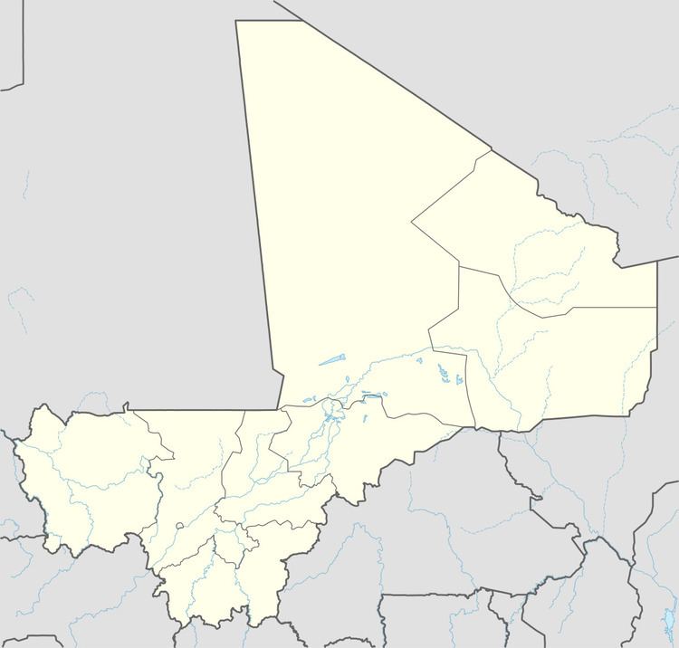
Map of Bougouni, Mali
History
Bougouni was the fourteenth commune created by the French colonial authorities of French Sudan. On July 10, 1894, Bougouni became the administrative center of the commune under its first administrator, Lieutenant Gouraud. Bougouni held an important set of colonial archives which were lost in a fire during the March 1991 uprising against President Moussa Traoré.
Geography
Bougouni, like many cities of Mali, enjoys sufficient rainfall for regular farming. Cotton is produced in the region around the town, making it a center for processing and transport. The Bougouni-Foulaboula Protected Forest (Forêt Classée de Bougouni-Foulaboula) begins just to the southwest of the town.
Bougouni has been a sister city of Aurillac, France, since 1985.
The Cercle of Bougouni includes the communes of Bladié-Tiemela, Bougouni, Chantoula, Danou, Debelin, Defina, Dogo, Domba, Faradielé, Faragouaran, Garolo, Keleya, Kokelé, Kola, Koumantou, Kouroulamini, Meridiela, Ouroun, Sanso, Sibirila, Sido, Tiémala-Banimonotié, Wola, Yinindougou, Yiridougou and Zantiebougou, for a total population of 251,987.