
- elevation 1,592 m (5,223 ft) Province Province of Cáceres | Area 1,254 km² | |
 | ||
Extremadura las hurdes y sierra de gata hd
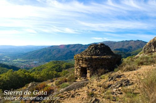
Sierra de Gata is a mountain range in the Sistema Central, Spain. The highest point is Peña Canchera (1,592 m).
Contents
- Extremadura las hurdes y sierra de gata hd
- Map of Sierra de Gata CC3A1ceres Spain
- DescriptionEdit
- PeaksEdit
- References
Map of Sierra de Gata, C%C3%A1ceres, Spain
DescriptionEdit
The Sierra de Gata is located in the northwest of the province of Cáceres, which is in the autonomous community of Extremadura. It borders with Portugal on the west in the area of the Portuguese Serra da Malcata Natural Reserve.
Sierra de Gata is also the name of a comarca that includes of 20 municipalities located roughly in the same area as the mountains. The municipality of Moraleja is included in the Sierra de Gata comarca, even though it is geographically not in the mountainous area of the Sierra de Gata itself.
PeaksEdit
The most important mountains of Sierra de Gata are (from West to East):
References
Sierra de Gata Wikipedia(Text) CC BY-SA