
Barangays Area 144.4 km² | Founded October 21, 2006 Time zone PST (UTC+8) Local time Tuesday 7:24 AM | |
 | ||
Weather 27°C, Wind N at 16 km/h, 86% Humidity | ||
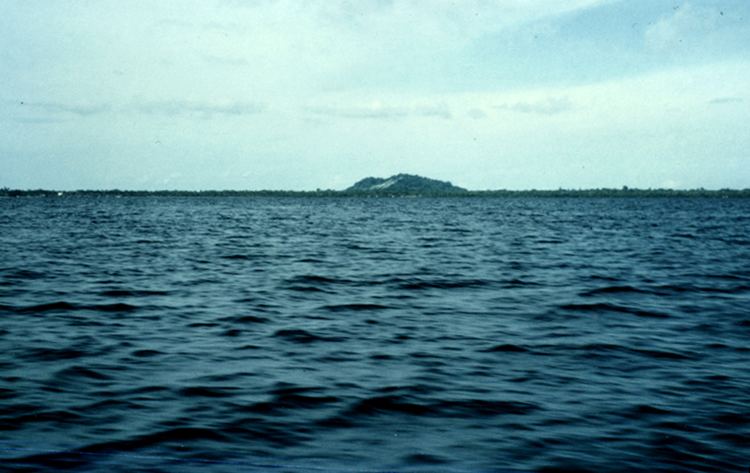
Bongao island and sibutu island of tawi tawi province mpg
Sibutu is a sixth class municipality and island in the province of Tawi-Tawi, Philippines. According to the 2015 census, it has a population of 30,387 people. It lies about 14 kilometres (8.7 mi) east of the coast of Sabah, Malaysia. The municipality covers the main island of Sibutu as well as four small uninhabited islands 3.5 to 6 kilometres (2.2 to 3.7 mi) south of the main island, which are, from north to south: Sicolan Calch Island, Sicolan Island, Sicolan Islet, and Saluag Island, the latter being the southernmost island of the Philippines.
Contents
- Bongao island and sibutu island of tawi tawi province mpg
- Map of Sibutu Tawi Tawi Philippines
- History
- Barangays
- References
Map of Sibutu, Tawi-Tawi, Philippines
Sibutu Island has an area is 109 square kilometres (42 sq mi). It is an important site for nature conservation.
History
Due to an administrative error in the Treaty of Paris, Sibutu was the last Spanish possession (alongside Cagayán de Sulu) in the Philippine islands.
It was created out of Sitangkai, Tawi-Tawi, by virtue of Muslim Mindanao Autonomy Act No. 197, which was subsequently ratified in a plebiscite held on October 21, 2006.
Barangays
Sibutu is politically subdivided into 16 barangays.