
Island group Sangihe Islands | ||
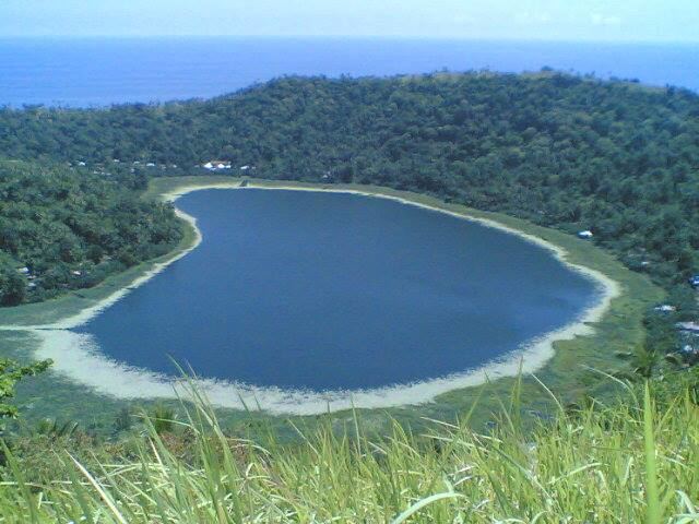 | ||
Siau island north sulawesi indonesia
Siau is an island in North Sulawesi, Indonesia, located in the Sangir Archipelago approximately 130 km (81 mi) off the northern tip of Sulawesi in the Celebes Sea.
Contents
- Siau island north sulawesi indonesia
- Map of Siau Island Siau Tagulandang Biaro Regency North Sulawesi Indonesia
- Karangetang volcano siau island
- Communities
- References
Map of Siau Island, Siau Tagulandang Biaro Regency, North Sulawesi, Indonesia
The northern part of the island forms the volcano known as Karangetang (Api Siau), which is one of Indonesia's most active volcanoes.
The population of Siau island was 40,758 at the 2010 Census. The island has recently been noted as the home of the Siau Island tarsier.
Karangetang volcano siau island
Communities
Communities on the island include the town of Ulu Siau and the villages of Baru, Batuwawang, Bebali (Bubali), Beong, Hiu, Kahawungan, Kanawong, Korakora, Lai, Lehi, Ondang, Ondong, Paniki, Pehe, Peliang, Salili, Tempuna and Toto. The island is administratively divided into 6 districts of the Sitaro Islands Regency.
References
Siau Island Wikipedia(Text) CC BY-SA