
Country Burma Time zone MST (UTC+6.30) | Capital Shwebo | |
 | ||
Neighborhoods That Thar Pan Taung, Nan Taw Shwebo, Thayetchan | ||
Shwebo Township (Burmese: ရွှေဘိုမြို့နယ်) is a township of Shwebo District in the Sagaing Region of Burma (Myanmar). It is located on the plains between the Mu River and the Ayeyarwady River. The ancient palace of King Alaungmintaya is being excavated there. Its administrative seat is the city of Shwebo.
Contents
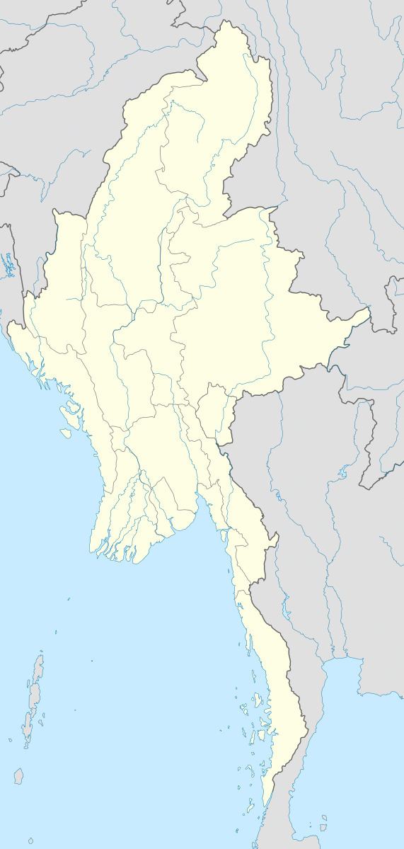
Map of Shwebo, Myanmar (Burma)
Bounds
Shwebo township is bounded on the east by the Ayeyarwady River, across which is Singu Township of Mandalay District in Mandalay Region. To the north of Shwebo township is Khin-U Township, to the south is Wetlet Township, and to the west in Tabayin Township.
Villages
Among the many villages and wards (village census tracts) in Shwebo township are Seik Khun Village,Hsin Inn (Sin-Inn) Village, Htoogyi Village, Khuntaungnge Village, Kyar Village, Myinchin Village, Palaing Village, Tazai Village, and Thanbayachan Village,NyaungPinTha Village,Late Chin Village,Pan Yan Village, Hla Taw Village, Tha Lone Village, Myin Sie Village, Zee Kone Lay Village,Nyaung Gan Village,Da Gan Thar Village, Thit Cho Bin Village, Ywar Mitther Village,MinGone Village,
Economy
Recent irrigation projects have significantly increased rice production in the township, allowing three crops per year.