
Palestine grid 153/154 | ||
 | ||
Name meaning The crevasse, cleft, or narrow pass. Weather 17°C, Wind W at 24 km/h, 71% Humidity | ||
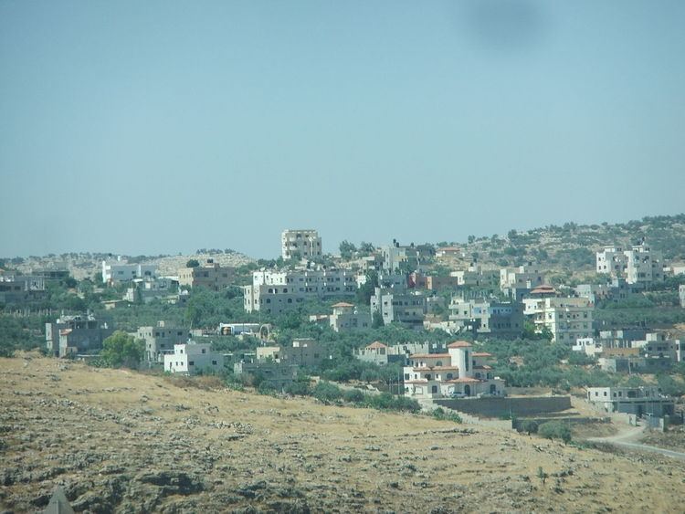
Shuqba (Arabic: شقبة) is a Palestinian town in the Ramallah and al-Bireh Governorate, located 17.71 kilometers northwest of the city of Ramallah in Palestine. It is bounded on the southwest by the village of Qibya, on the southeast by Shabatin, on the northeast by Deir Abu Mish'al and on the north by the Israeli settlement of Ofarim.
Contents
Map of Shuqba
Shuqba has a total area of 13,990 dunams, and the built-up area comprises 616 dunams. Shuqba was home to approximately 4,497 inhabitants in 2007.
History
Dorothy Garrod studied the transition of Mesolithic to Neolithic culture represented in a cave on the northern bank of Wadi an-Natuf near Shuqba in 1928. The name "Natufian Culture" was then coined to describe the inhabitants of the southern Levant at this crucial juncture in human history.
Sherds from Iron Age I-II, Iron Age II, Persian, Hellenistic, Roman Empire, Byzantine and Mamluk eras have been found.
Ottoman era
Sherds from the early Ottoman era have been found here. In 1596 Shuqba was a part of the nahiya ("subdistrict") of Ramla, which was under the administration of the liwa ("district") of Gaza. In the tax records that year it had a population of 49 household who were all Muslims. They paid a fixed tax-rate of 25 % on agricultural products, including wheat, barley, summer crops, olive trees, goats and beehives, in addition to occasional revenues and a press for olives or grape syrup; a total of 2,600 Akçe.
Under the name "Schakba", an Ottoman village list of about 1870 found 39 houses and a population of 141, though the population count included men only.
In 1882 the Palestine Exploration Fund's Survey of Western Palestine (SWP) described it as "A small village on high ground, surrounded with trees."
British Mandate era
In a census conducted in 1922 by the British Mandate authorities, Shuqba had a population of 530 inhabitants, all Muslims, increasing in the 1931 census to 696, still all Muslims, in a total of 130 houses.
In 1945, the population was 840, all Muslims, while the total land area was 15,013 dunams, according to an official land and population survey. Of this, 1,496 were allocated for plantations and irrigable land, 5,053 for cereals, while 16 dunams were classified as built-up areas.
1948-1967
In the wake of the 1948 Arab–Israeli War, and after the 1949 Armistice Agreements, Shuqba came under Jordanian rule.
Post-1967
After the Six-Day War in 1967, Shuqba has been under Israeli occupation.