
Area 1,640 km² Tehsil 3 Lok sabha constituency Shrawasti | Website Official website Local time Sunday 2:27 PM | |
 | ||
Major highways up state highway 26,SH-96A Weather 38°C, Wind W at 14 km/h, 24% Humidity | ||
Shravasti district is one of the districts of the Uttar Pradesh state of India and Bhinga town is district headquarters. Shravasti district is a part of Devipatan Division. According to Government of India, the district Shravasti is one of the minority concentrated district in India on the basis of the 2001 census data on population, socio-economic indicators and basic amenities indicators.
Contents
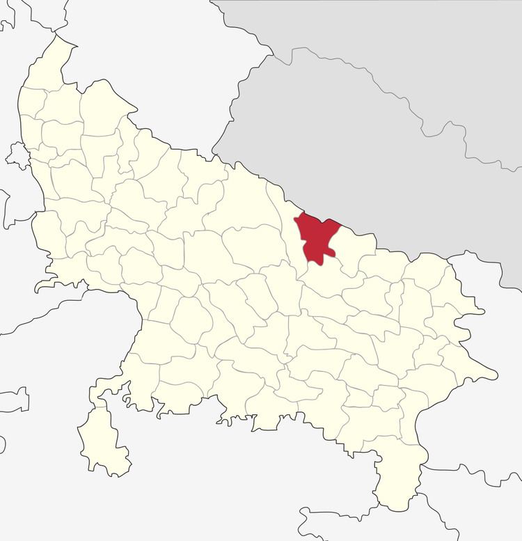
Map of Shrawasti, Uttar Pradesh
History
Shravasti, the north-eastern town of Uttar Pradesh, is located near the West Rapti River. This town is closely associated with the life of Gautama Buddha, who is believed to have spent 24 Chaturmases here. Age-old stupas, majestic viharas and several temples near the village of "Sahet-Mahet" establish Buddha's association with Shravasti. It is being said that the Vedic Bharat period king Sravasti(8th king of Ikshwaku dynasty) founded this town. Shravasti was the capital of the Kosala Kingdom during his reign . This prosperous trading center was well known for its religious associations. Sobhanath temple is believed to be the birthplace of the Tirthankara Sambhavanath in Jainism, making Shravasti an important center for Jains. According to Nagarjuna, the city had a population of 900,000 in 5th century BCE and it even overshadowed Magadha's capital, Rajgir.
As mentioned in the 'Bruhatkalpa' and various Kalpas of the fourteenth century, the name of the city was Mahid. There are subsequent mentions showing that the name of this city was Sahet-Mahet. It is also mentioned that a vast fort covered this city in which there were many temples having idols of Devkulikas.
Today a great rampart of earth and brick surrounds this city. During excavation in 'Sahet-Mahet' near Shravasti City, many ancient idols and inscriptions were found. They are now kept in museums of Mathura and Lucknow. At present, the archaeological department of the Indian Government is doing excavation to perform allied research.
Picture Gallery Shravasti
The district Shrawasti is one of the new districts of Uttar Pradesh carved out from the district Bahraich. It came into existence in May 1997.
Geography
Shravasti—part of historic Awadh—was carved out from Gonda district on the south and Bahraich on the west. Shrawasti also borders Balrampur on the east, and Nepal's districts Dang-Deukhuri to the northeast and Banke district nepal to the northwest. Shravasti district headquarters Bhinga is about 170 kilometres from Lucknow [up state headquarter ] the state capital.
Economy
In 2006 the Ministry of Panchayati Raj named Shravasti one of the country's 250 most backward districts (out of a total of 640). It is one of the 34 districts in Uttar Pradesh currently receiving funds from the Backward Regions Grant Fund Programme (BRGF).
Demographics
According to the 2011 census Shravasti district has a population of 1,114,615, roughly equal to the nation of Cyprus or the US state of Rhode Island. This gives it a ranking of 414th in India (out of a total of 640). The district has a population density of 681 inhabitants per square kilometre (1,760/sq mi) . Its population growth rate over the decade 2001-2011 was -5.25%. Shrawasti has a sex ratio of 881 females for every 1000 males, and a literacy rate of 49.13%.
Education
With a literacy rate of 34.2 per cent in 2001, it had the lowest literacy rate amongst districts in Uttar Pradesh.