
Vehicle registration UP Elevation 120 m Local time Monday 3:26 PM | Time zone IST (UTC+5:30) Website up.gov.in Population 20,400 (2001) | |
 | ||
Weather 29°C, Wind W at 16 km/h, 23% Humidity | ||
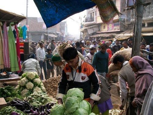
Bhinga is a town, nagar panchayat and district headquarters of Shravasti district in the state of Uttar Pradesh, India.
Contents
Map of Bhinga, Uttar Pradesh 271831
Geography
Bhinga is located at 27.72°N 81.93°E / 27.72; 81.93. It has an average elevation of 120 metres (393 feet).
Shravasti shares its border with Balrampur district, Gonda district and Bahraich district and nabouring nation Nepal. Bhinga, the district headquarters of Shravasti, is approximately 175 kilometres away from the state capital, Lucknow. Shravasti, located on the northeastern border of Uttar Pradesh, is close to River Rapti.
Demographics
As of 2001 India census, Bhinga had a population of 20,400. Males constitute 53% of the population and females 47%. Bhinga has an average literacy rate of 45%, lower than the national average of 59.5%; with male literacy of 53% and female literacy of 37%. 18% of the population is under 6 years of age.