
Population 4,055 (2015 est) Shire President Mike Walmsley Area 832.2 km² | Established 1898 Founded 1898 | |
 | ||
Shire of waroona
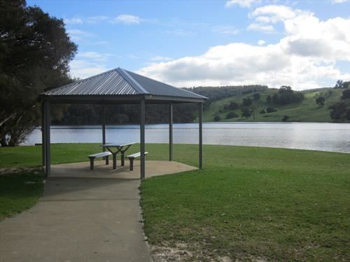
The Shire of Waroona is a local government area in the Peel region of Western Australia between Mandurah and Harvey and about 110 kilometres (68 mi) south of Perth, the state capital. The Shire covers an area of about 835 km² (322 mi²) and its seat of government is the town of Waroona.
Contents
Map of Waroona, WA, Australia
History
The district was originally controlled by the Murray Road Board (from 1887). In 1898, the Drakesbrook Road Board was gazetted. Years after the renaming of the town, on 19 May 1961, the Drakesbrook Road Board was abolished. It was to become the Waroona Road Board, but due to changes in the Local Government Act approved earlier in the year, it became the Waroona Shire Council on 1 July 1961 in line with many other councils.
Wards
The shire no longer has wards, it is made up of eight councillors who represent the whole of the Shire.
Towns
The Shire of Waroona contains the following towns and localities:
National parks and state forests based around both the Yalgorup lakes and the Darling Scarp jarrah forests occupy approximately half the land area of the Shire.