
Population 2,471 (2013 est) Founded 1925 Mayor Paul Carrotts | Established 1925 Area 1,901 km² | |
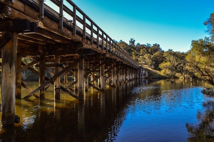 | ||
The Shire of Boddington is a local government area in the Peel region of Western Australia, about 120 kilometres (75 mi) south-east of the state capital, Perth. The Shire covers an area of 1,901 square kilometres (734 sq mi), and its seat of government is the town of Boddington.
Contents
Map of Boddington, WA, Australia
History
A road board had been convened at Marradong 8 km to the south in 1903, but it was relocated to Boddington in 1925 after the arrival of the railway and construction of suitable buildings. On 1 July 1961, the Marradong Road District became the Shire of Boddington following the enactment of the Local Government Act 1960.
Wards
The Shire has been divided into 2 wards.
Towns and localities
References
Shire of Boddington Wikipedia(Text) CC BY-SA