
Population 6 (2006 census) Postcode(s) 6346 Elevation 139 m Local time Saturday 9:10 AM | Established 1966 State electorate(s) Eyre Postal code 6346 | |
 | ||
Weather 18°C, Wind SE at 16 km/h, 63% Humidity | ||
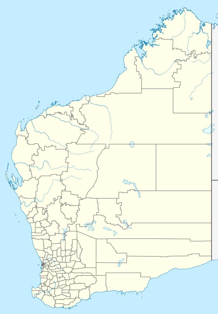
Jerdacuttup /ˌdʒɜːrdəˈkʌtʌp/ is a small town in Western Australia 584 kilometres (363 mi) east-south-east of Perth between Ravensthorpe and Hopetoun in the Goldfields-Esperance region of Western Australia. At the 2006 census, Jerdacuttup had a population of six.
Map of Jerdacuttup WA 6346, Australia
John Forrest explored the area in 1870 and spelt the word as Jerdicutup, the area was later surveyed in 1875 by C Price who recorded the name of the area as Jerdicat and Verdicat. Jerdacuttup is an Aboriginal word of unknown meaning.
During the 1960s the south-east of Western Australia was opened for agricultural purposes and the town was developed as a supply centre for the region. The government gazetted the townsite in 1966. The dominant agricultural industry in the area is sheep grazing and cereal cropping with cattle grazing and lupin cropping to a lesser extent. The town is a receival site for Cooperative Bulk Handling.
The Jerdacuttup River is situated about 16 km to the west of the townsite.
Australian underground band The Triffids referenced the town in the song "Jerdacuttup Man", from the album Calenture.